Kolochava – Strymba Mountain
-
Complexity
Difficult -
Length
15 km -
Duration
5 hours
-
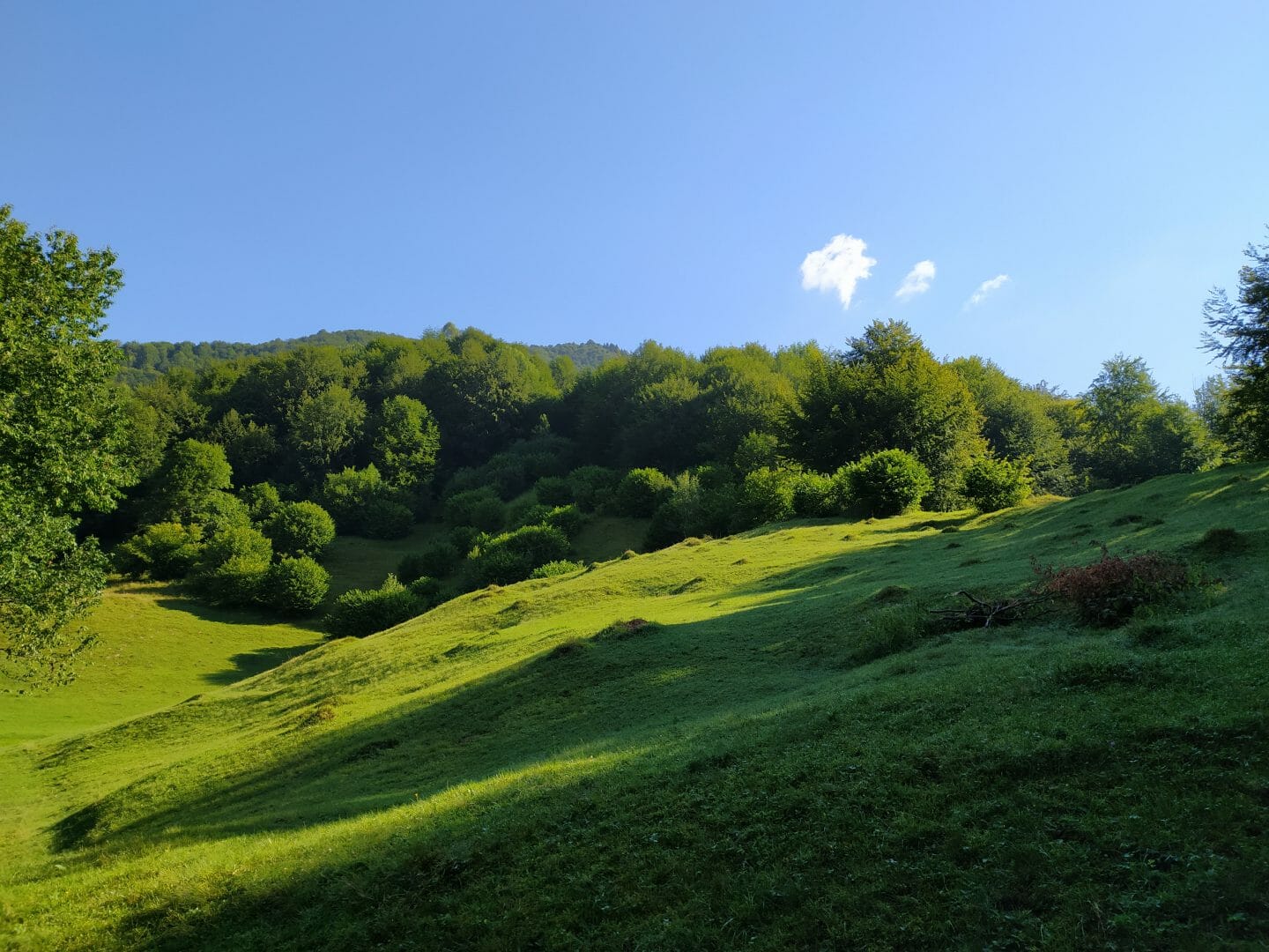
Stav Tract

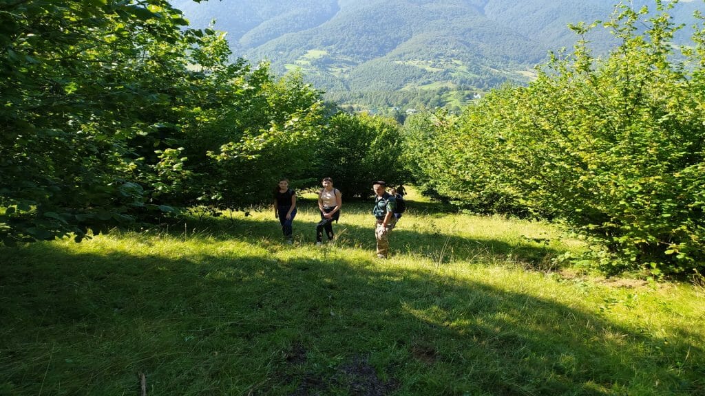
The start of the route is located in the residential area of Kolochava village. You can refresh yourself before the trip here – travelers will be greeted with Hutsul Kolyba dishes. The recreational town will always protect travelers from the weather and at night, as well as give them the opportunity to recover their strength to travel.
Coordinates:
Google maps
-
Well

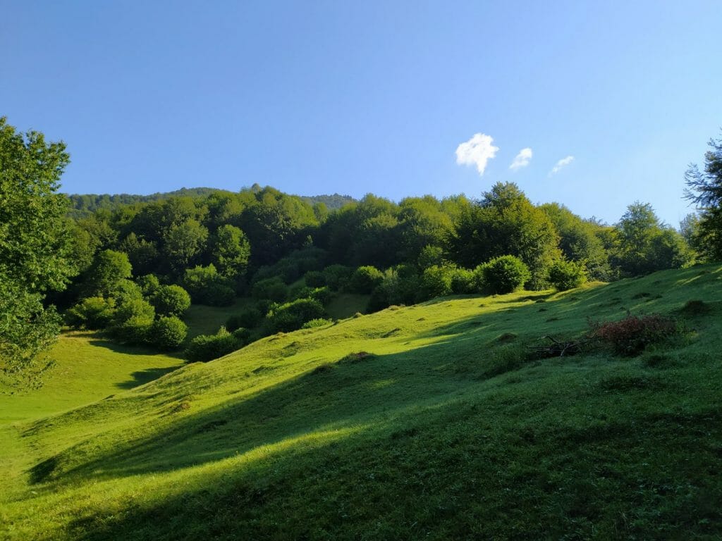
After passing the village, you will meet beech and spruce forests on your route. And, near the well you can sit and drink delicious spring water, and most importantly – have a little rest.
Coordinates:
Google maps
-
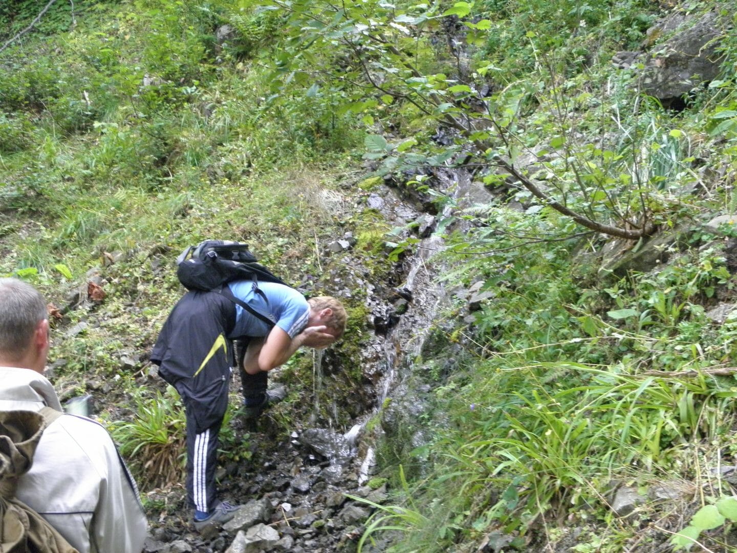
Natural Source
At this stop you can refresh yourself with clean mountain water, and satisfy your thirst, as well as replenish water supplies to conquer the top.
Coordinates:
Google maps
-
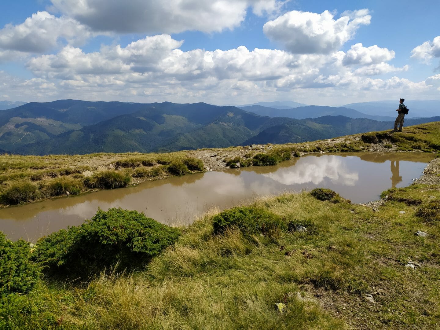
Bog
On the eastern part of Strymba mountain ridge, there is a picturesque lake, actually a bog. It is small, – 8 meters long, and 4 meters wide. The maximum depth of a unique mountain reservoir is more than 1 meter. The water here is quite muddy, and it feeds exclusively on precipitation. It rains often on the mountain, so the bog does not dry out. Of course, fish are not found in this reservoir, but the Carpathian newt is observed here. Mountainous conditions at an altitude of two thousand meters above sea level are good for tail amphibians, so Strymba mountain is not the limit for it.
Coordinates:
Google maps
-
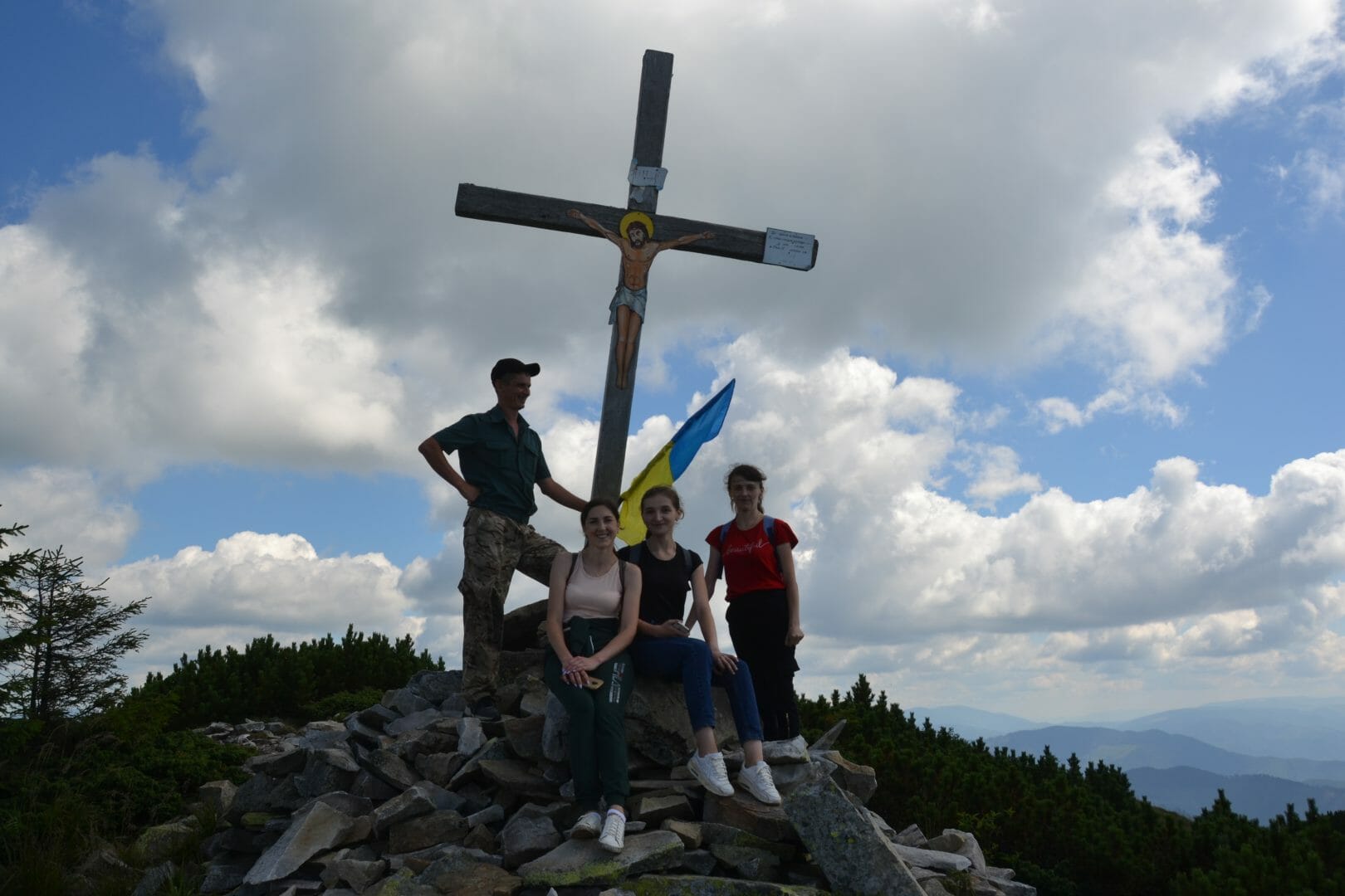
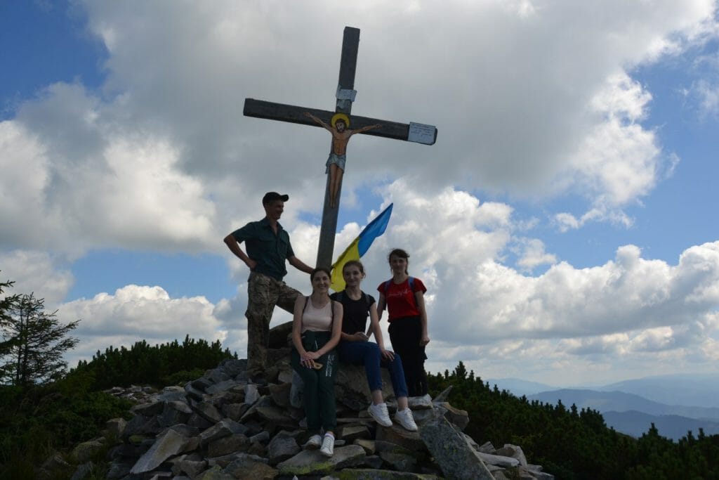
Strymba Mountain

The top, as well as a mountain of amazing beauty is the main goal of our trip. Its ridge with several hills stretched for more than 3 thousand meters. Rock outcrops and meadows are on the upper limits. Strymba mountain resembles a desert with green stone scatterings. You can see only some mountain pine trees growing in some places here. Incredible beauty appears before the eyes from the top. An oak cross was installed here on August 23, 2008.
Coordinates:
Google maps


Deviation from the route.
Damage of natural objects.
Starting fires in places not designated for this purpose; smoking when passing through the forests.
Felling and damage of trees, plucking flowers, and collecting medical plants.
Hunting animals, and destruction of their habitats.
Any way of fishing.
Carry firearms.
Littering the territory; making noise.
Report to the Ministry of Emergencies before you go on a trip, so that rescuers can find you quickly, and in time if something happens. This requires only two steps:
-
Fill out the online form
Fill in the online form to inform the mountain search and rescue units about your planned trips to the mountains.
Online form -
Save the rescue units’ contacts
Put down the contacts of the mountain search and rescue units of the area in which you are going to travel to your mobile phone.
Units’ Contacts